Puglia is a region in the South of Italy with 4,079,530 inhabitants. Its capital city is Bari. It borders to the north-east with Molise, to the west with Campania and Basilicata and is enclosed by the Adriatic Sea to the east and north and the Ionian Sea to the south.
It includes the provinces ofBari, Barletta-Andria-Trani, Brindisi, Foggia, Lecce and Taranto.
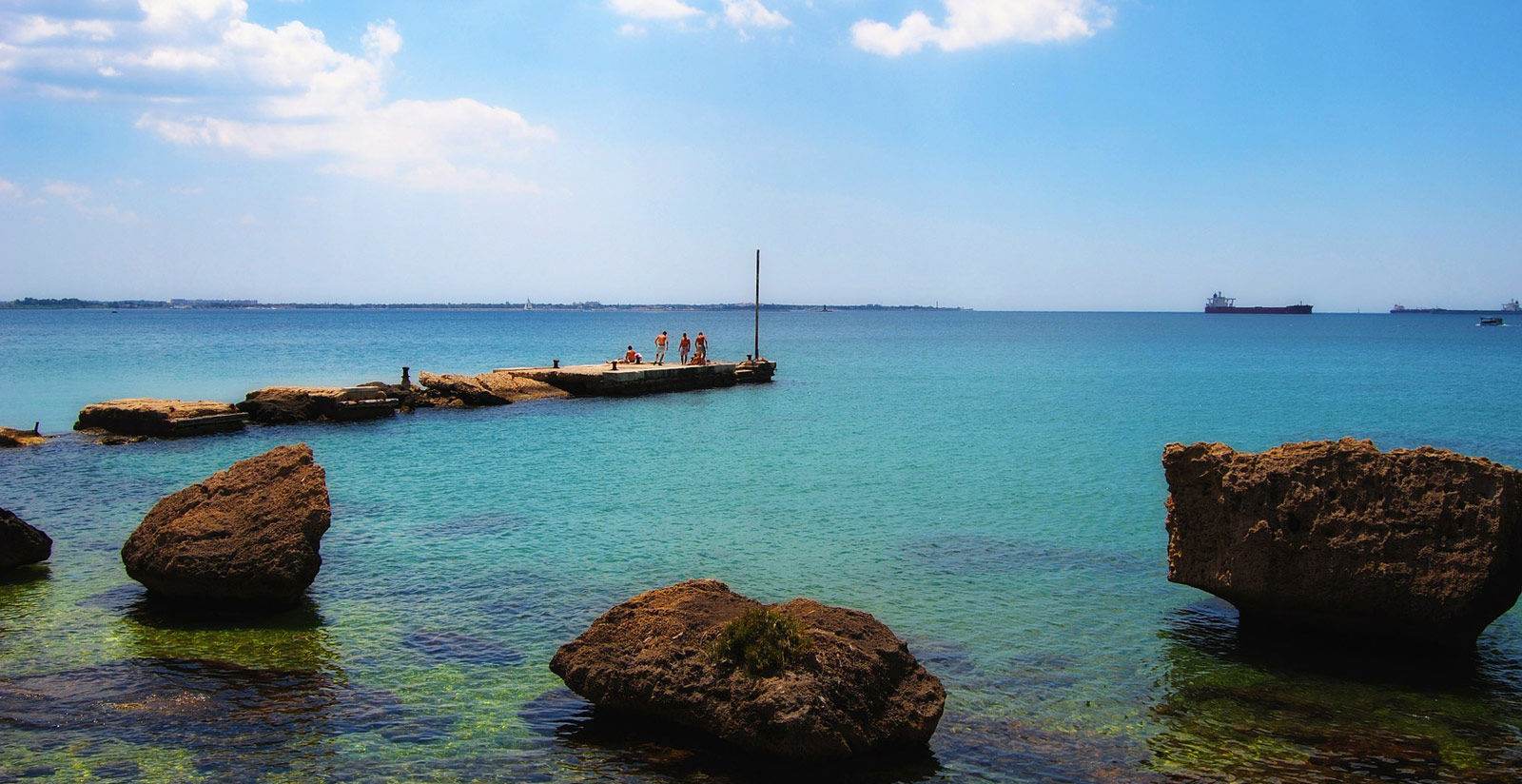
Puglia, with its 834 km of coast, is the third region of Italy for its coastline after Sicily and Sardinia. The Gargano coast is generally rocky, but does include numerous coves with sandy beaches. To the south of Manfredonia, the coast is low and sandy as far as Barletta, while in the Bari area, sandy stretches are alternated with low cliffs, with the exception of Polignano a Mare, located on a spur overhanging the sea.
Sandy beaches are prevalent to the south of Monopoli as far as Otranto, while the Adriatic coast of lower Salento frequently features rocky stretches. While the whole of the Ionian coast of the southern part of Salento as far as the border with Basilicata boast white sandy beaches which, in the northern part of the Gulf of Taranto, are surrounded by pinewoods.
Puglia comprises the Tremiti archipelago, to the north-east of the Gargano coast, and some small-size islands and groups of islands such as the Cheradi Islands, near Taranto, and Isola di Sant'Andrea in front of Gallipoli. From a geographical viewpoint, the Apulian region also includes the small Palagruža archipelago, to the north-east of the Tremiti Islands, now part of Croatia.
Places of natural interest
Gargano, or the spur of Italy, is an important promontory in the province of Foggia that extends for 70 km into the Adriatic Sea which encloses it to the north, east and south; only to the west does the Gargano region border with the so-called Tavoliere delle Puglie. The area, measuring approximately 2,000 km², includes Gargano National Park.
The inland areas, covered by lush vegetation such as the Umbra Forest, are scantily-populated. Inhabitants tend to group together in the coastal towns or at the foot of mountains, also as a result of the development of seaside tourism in recent years which has been added to the more traditional fishing and farming activities. A panoramic road, the SS 89, runs along almost all the perimeter of the Gargano region, taking in many of the main towns such as San Nicandro Garganico, Carpino and Ischitella, and the famous tourist locations such as Rodi Garganico, San Menaio, Peschici, Vieste and Mattinata, as far as Manfredonia.
The Tremiti Islands
They form an archipelago in the Adriatic Sea, located at 12 miles to the north of the Gargano promontory (Lesina Lake) and 24 miles to the east of Molise’s coastline (Termoli). Even if it represents the smallest and second least-populated municipalities of Puglia (only Celle di San Vito has fewer inhabitants), it is one of the region’s most important centres of tourism. It has received the Blue Flag, the leading award given by the Foundation for Environmental Education, on several occasions thanks t the quality of the sea water.
The Daunia Subapennine
The Daunia Subappenine (also called the Dauni Mountains or Daunia Mountains) is a mountain range representing the eastern extension of the Campanian Apennines. The range occupies the western part of Capitanata and runs along the region’s borders with Molise and Campania.
The Daunia Subapennine offers some unique examples of mountains in the region and small towns perched on hills offering splendid view of the whole Capitanata area. For these reasons it is a favourite destination with tourists in search of a fresh climate and tranquillity, and not only during the summer.
Salento
The Salento countryside is almost completely cultivated and arboreal vegetation is mainly represented by rows of age-old large olive trees with distorted trunks. Land is mainly split into small lots, separated by typical dry stone walls.
Stone has always been used to create various dry stone constructions, used by peasants as sleeping places or to store tools and equipment. Said buildings (known as caseddrhi, pajare, ecc..) pajare, etc.. depending on the local dialect) are more similar to Sardinia’s nuraghi rather than Puglia’s trulli. Salento’s beaches are wide and sandy, especially on the Ionian coast, and the sea waters at this latitude are characterised by transparency and rare shades of colour. The cliffs overhanging the sea are quite spectacular, especially on the Adriatic Sea.
The best-known beaches include the sandy beaches of Lido Silvana, Marina di Lizzano, Campomarino di Maruggio, Porto Cesareo, Gallipoli, Ugento, Santa Maria di Leuca, Otranto, Torre dell'Orso and Marina d'Ostuni, while as far as rocky beaches are concerned, mention must be made of Castro, Santa Cesarea Terme and Porto Badisco. There are a large number of fortified farm houses dating mostly from the 16th, 17th and 18th centuries. Generally speaking, the towns are not heavily populated, have an eastern appearance and are characterised by the strong white colour of the buildings that makes them dazzle under the sun’s rays.
Castellana Caves
The complex of underground Karst caves at Castellana Grotte in the south of the province of Bari is of great speleological and tourist importance. Starting from the cave known as the Abyss, an enormous chasm measuring 60 metres in depth, the graves can be visited one after the other along a horizontal route measuring approximately 3 km. The White Cave and Milan Cathedral Cavern, so called due to the particular shape of the stalagmites that look like pinnacles, are of special interest.
Monuments declared World Heritage Sites by UNESCO
Trulli, Alberobello
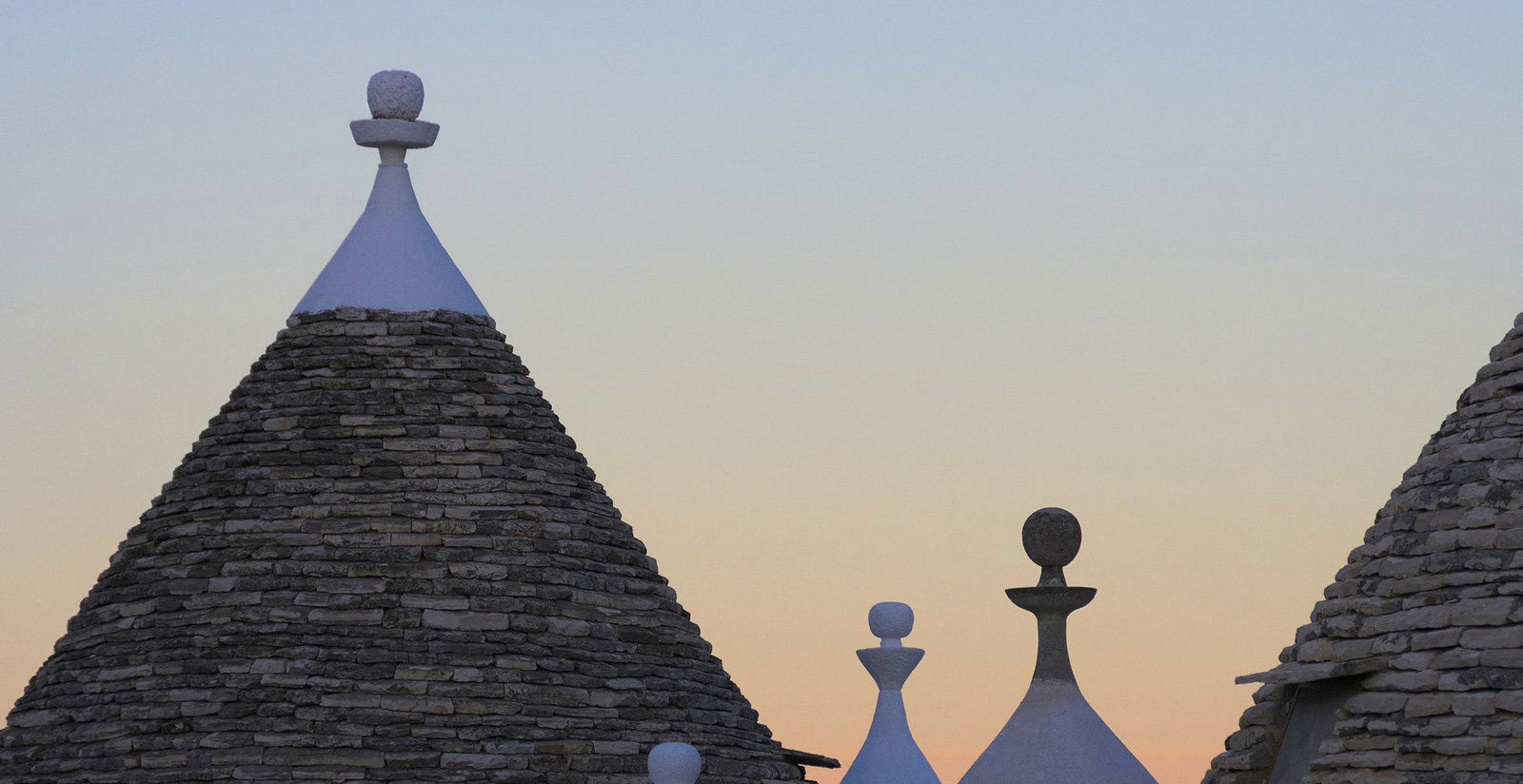
Trulli are ancient, conical, dry stone constructions, of prehistoric origin and found throughout all the Itrian Valley. Despite the fact that prehistoric archaeological finds, or the foundations of stone huts dating back to the Bronze Age have been unearthed in the areas of construction of trulli, there are no especially ancient trulli. This would seem to be due to the fact that, for economic reasons, it was preferable to demolish or rebuild them, recycling the material, rather than repair them in the event of damage.
The trullo was a typical peasant construction where those that worked on the owner’s land could have a place to sleep and to keep their tools and equipment. The children used to sleep in alcoves dug out of the wall like niches and divided from the main area by curtains. Some wooden beams that can still be seen in today’s trulli served no structural purpose, but were used to hang up food and provisions, keeping them off the ground (the earth floor area was often shared by people and pets).
It is thought that trulli were used in ancient times to avoid paying taxes on houses. There are various theories in this regard. One of these asserts that the trulli were used to announce the arrival of possible checks using smoke signals. In this case, the roofs were literally removed and would be rebuilt once the danger had gone away. A popular saying states how, if the owner were to come to ask for payment of the tax for residing on the land, the peasants were able to remove just one stone and cause the whole dwelling to collapse, making it look like a pile of rubble.
Castel del Monte
The impressive Castel del Monte, Andria
The date of construction of Castel del Monte in Andria is officially given as 29 January 1240, when Frederick II of Swabia ordered provision of all the material and other items needed to construct a castle near to the Monastery of Sancta Maria de Monte (now disappeared). However, this date is not accepted by all scholars. Indeed, according to some, construction of the castle had already reached the roof stage on said date. It is also difficult to attribute the castle to one single architect. Some trace the castle to Riccardo da Lentini, but others maintain that it was Frederick II himself that designed the castle. It seems to have been built on the ruins of a former Lombard and subsequently Norman fort. It was probably not completed upon the death of Frederick II (in 1250). The building has an octagonal layout (16.30 m per side on the outside) and an octagonal tower stands at each corner (whose sides measure 3.10 m each), while the octagon that corresponds to the internal courtyard has sides measuring 8.65 m each. The diameter of the whole castle is 56 m, while the diameter of each tower is 7.80 m. The towers stand 24 m tall and are only slightly taller than the height of the castle. The internal space is split into two floors, located at a distance of 3 and 9.5 metres respectively above the level of the courtyard. This division is marked on the outside by a string course. Each floor comprises eight trapezoidal rooms, split by joining the corners of the internal octagon with the corners of the external octagon marked in turn by octagonal towers.


